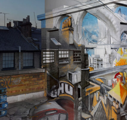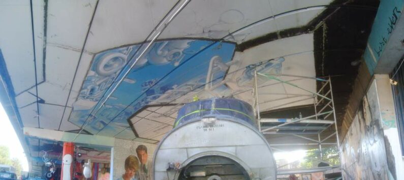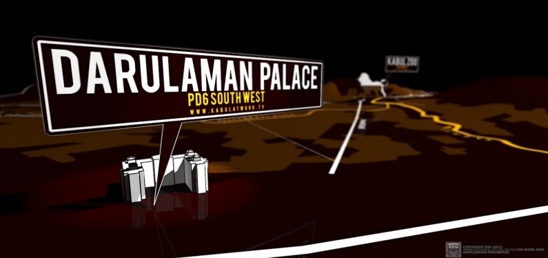
Some unpublished work that I’ve done with mapping.
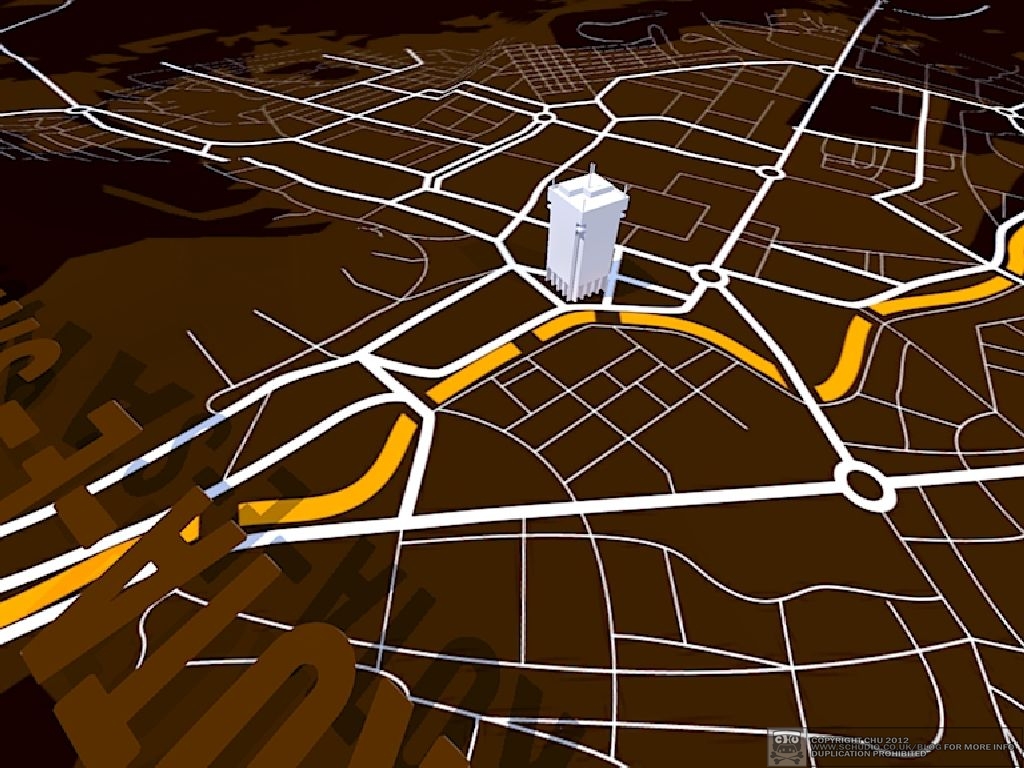
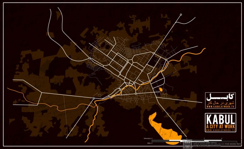
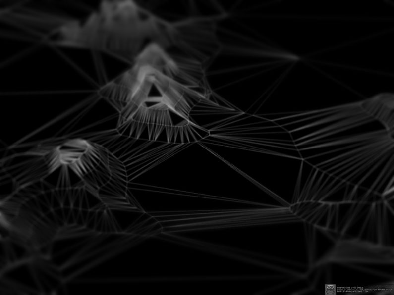
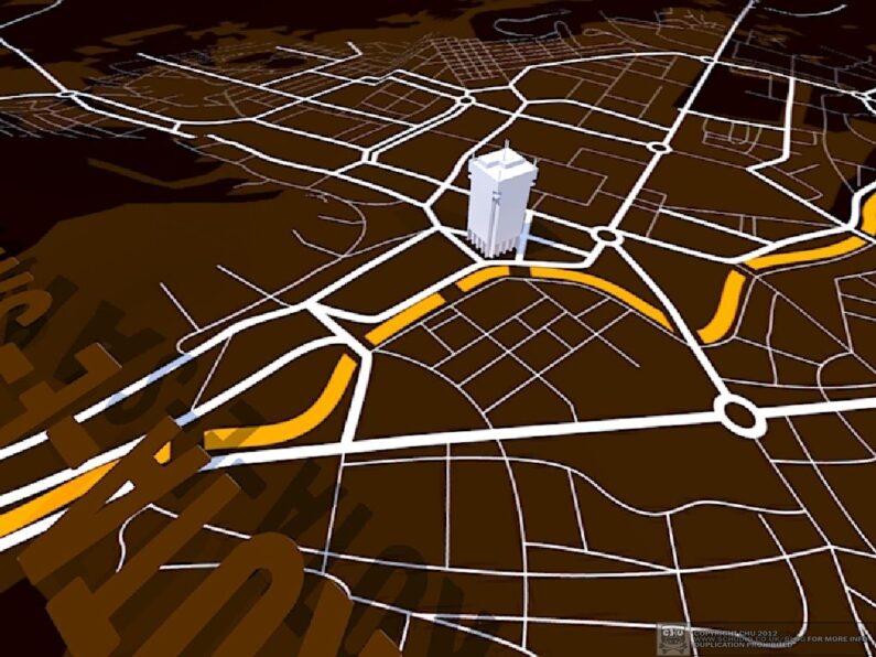
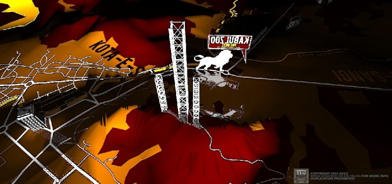
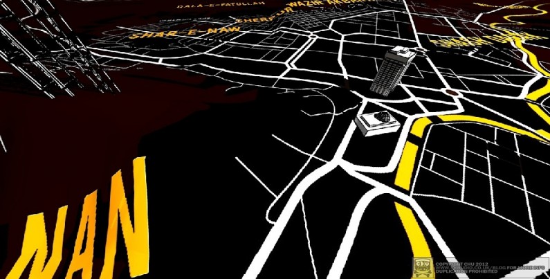
Almost the entire finished images you see here are achieved in Google Sketchup (now part of Trimble, the mapping firm). I drew a detailed (geographically sound) map referencing an existing map and using Google Earth. If there’s anything I’ve learnt from this exercise, there’s a lot of difference between Google and reality. The roads, bridges, rivers and squares (roundabouts) are then applied to a complex elevation, created by old fashioned means.
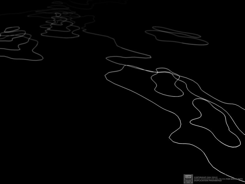
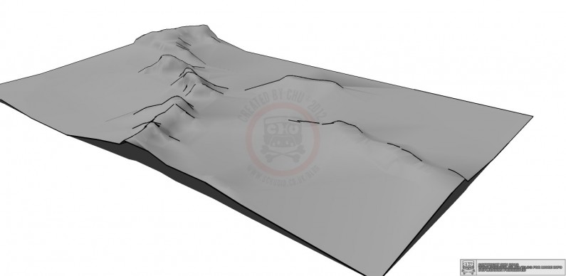
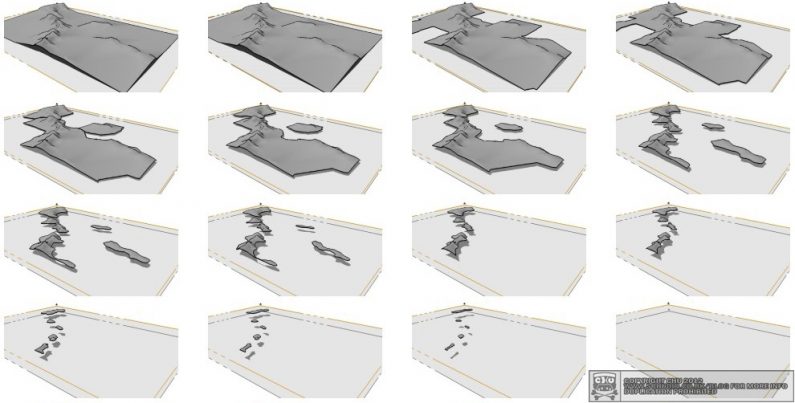
When I was in the cub scouts, we made landscapes by cutting corrugated cardboard guided by the contours on an Ordnance Survey map. Each contour line had a corresponding sheet of cardboard, when they were placed on top of one another it made a small duplicate of the actual landscape (pending the cardboard was thick enough to scale). This is how (more or less) I did it in Sketchup; tracing by hand evenly spaced contour lines from several different maps. This was only accurate to 50m height intervals, for effect. As long as the sea level (or water level) was correct, as shown in the sequence below – then it would translate well as a realistic enough map for the purpose.
Placemarkers were then modelled for a few key instanced buildings and structures. I could have spent ages making refined exact buildings etc. but the places needed only to be incidental, only mimicking reality.
The surface area ‘sheet’ was duplicated and another image was applied to it which had names of districts on a transparent background, written like clouds above the map.
The machine I was rendering this on is only a Intel Centrino 2 from 2008, so it didn’t have the processor BANG needed to make this worthy of pursuing on the budget. It was just far too time consuming to complete.
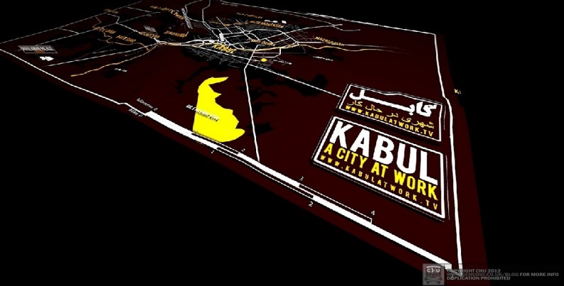
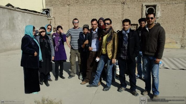
See the wonderful work of David Gill & Kabul, a city at work.

